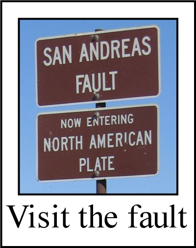
Home Pictures Maps Google Map Visit the fault Earthquakes Be prepared ShakeOut! Feel it? Big One
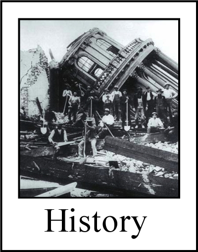
Tectonics Volcanoes Tsunamis California geology History Myths Organizations Links About Research
![]()
The San Andreas fault's nick name is "SAF".
San Andreas Fault Information
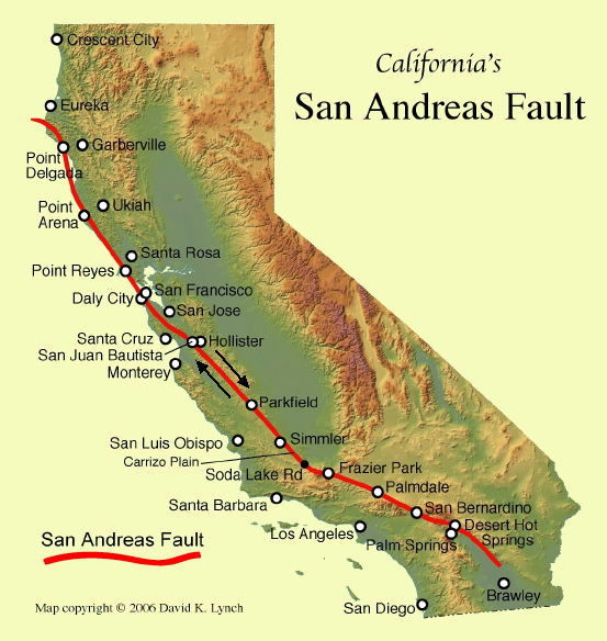
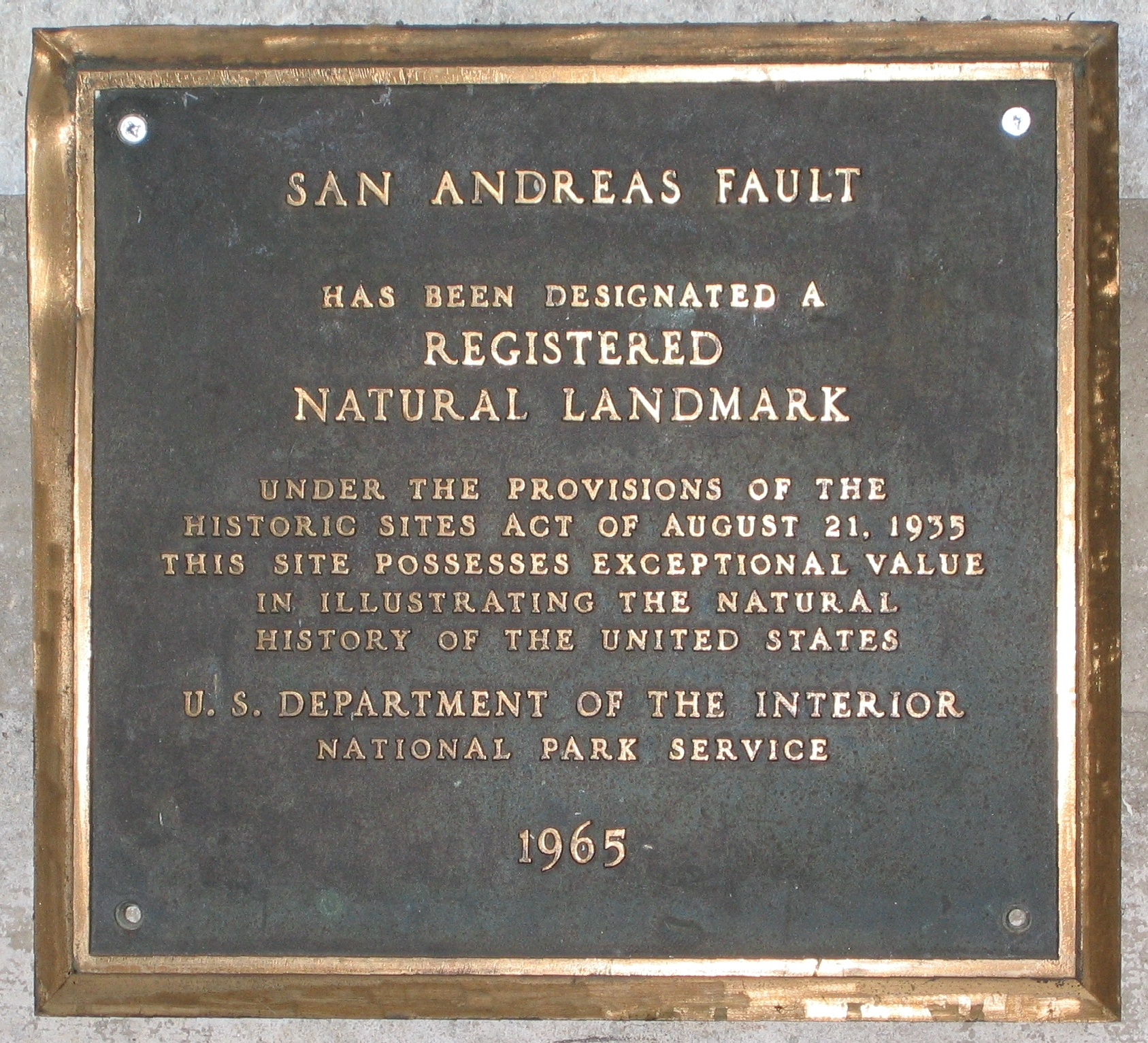
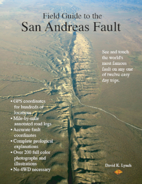
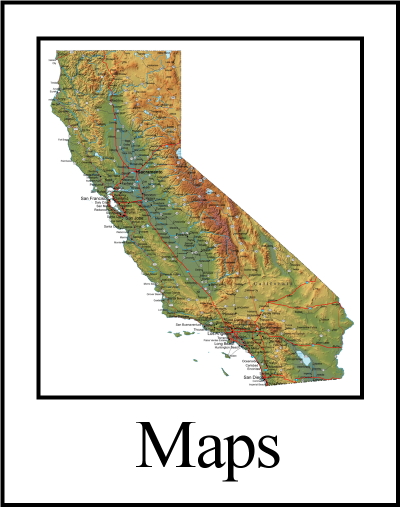
Map of California showing the SAF, Natural Landmark plaque and the Field Guide to the San Andreas Fault.
|
The plates are continually moving but where the touch each other, they get stuck. As the rest of the plates moves, the stuck parts deform like compressing a spring so they build up stress in the rocks along the fault. When the rock breaks or slips, the suddenly plates move, causing an earthquake. The entire process is called elastic rebound. As they break and scrape by one another, they produce seismic waves that travel through the ground and shake the surface. We know this shaking as earthquakes. While we think of plates as rigid, they can stretch a little, like pizza crust. That is why we can have an earthquake on the SAF in northern California but not on the SAF in southern California. |
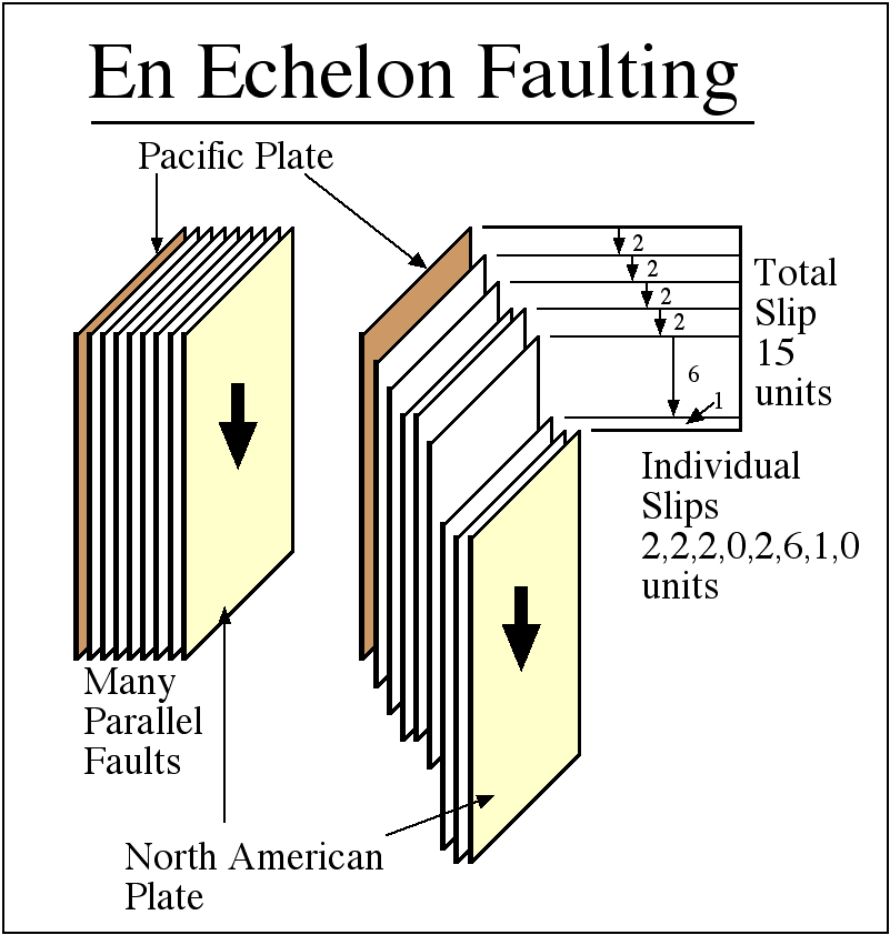
There are many major faults in California that are parallel to the SAF, like the Hayward Fault. This results in a curious effect: while the Pacific Plate is moving northwest relative to the North American Plate at an average rate of about 2.5 inches per year (about as fast as your fingernails grow), the average slip rate along the SAF is less, about 1.5 inches per year. The difference is being taken up by slip along the other parallel faults. This can be demonstrated by a deck of cards. People often think of the SAF as a line in the ground, and that by hopping across it, they can go from one plate to the other. This is not true. Although the most recent break in the ground that defines the trace of the SAF is a narrow line, the actual plate boundary should be viewed as a fault zone. The width of a fault zone can be less than a mile wide (Olema Trough) or many miles across (Salton Trough). California is famous for its earthquakes on the SAF (1906 San Francisco Earthquake, 1857 Fort Tejon earthquake), but the state's quakes are not particularly large. The largest earthquakes in the world occur near subduction zones, where one plate is sliding under the other (Alaska, Chile, Indonesia, etc.) Only in northwestern California north of Cape Mendocino is there a subduction zone, the Cascadia megathrust, and it is not directly related to the SAF. Here the small Juan de Fuca plate is subducting under the North American Plate. Given enough time, the Cascadia megathrust will produce an earthquake much larger than any quake on the SAF. It has happened before. The SAF is about 28 million years old. It 'began' when the East Pacific Rise, the boundary between the Farallon and Pacific Plates, subducted under the North American Plate near what is now Los Angeles. Spreading northwest and southeast, The SAF gradually grew, and it still growing. The grinding plates and earthquakes are gradually warping and reshaping Califonia. In a few million years, California will look very different than it does today. Consider this: California is about 1000 miles long. That's All states and all continents have faults but California has more than most. What makes the SAF so important is that it is a plate boundary and that it is on land. Most plate boundaries are in the ocean and so they are hard to study. |
 The
The 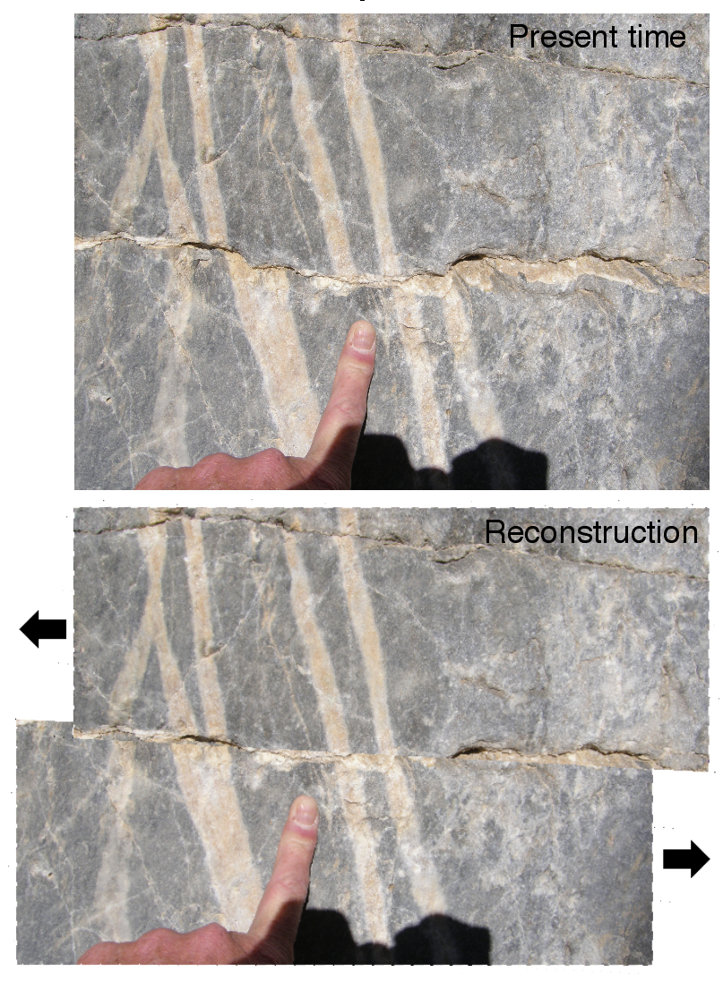
San Andreas Fault News
San Andreas Fault videos
Websites & On-line resources
Information about the SAF from the United States Geological Survey (USGS)The San Andreas Fault - USGS on-line book by Sandra S. Schulz and Robert E. Wallace.
The San Andreas Fault System, California, USGS on-line Professional paper 1515 (book, actually) edited by Robert Wallace (of Wallace Creek fame)
California Geological Survey article about faults.
Short WORD article about the fault (700 words - automatic download to your computer)
Quick Facts about the San Andreas Fault
Public information from the Southern California Earthquake Center
Public Information from the UC Berkeley Seismological Laboratory
USGS Earthquake Hazards Program
Geology of the Los Angeles area
Other major faults in California (SCEC)
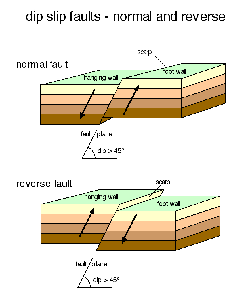
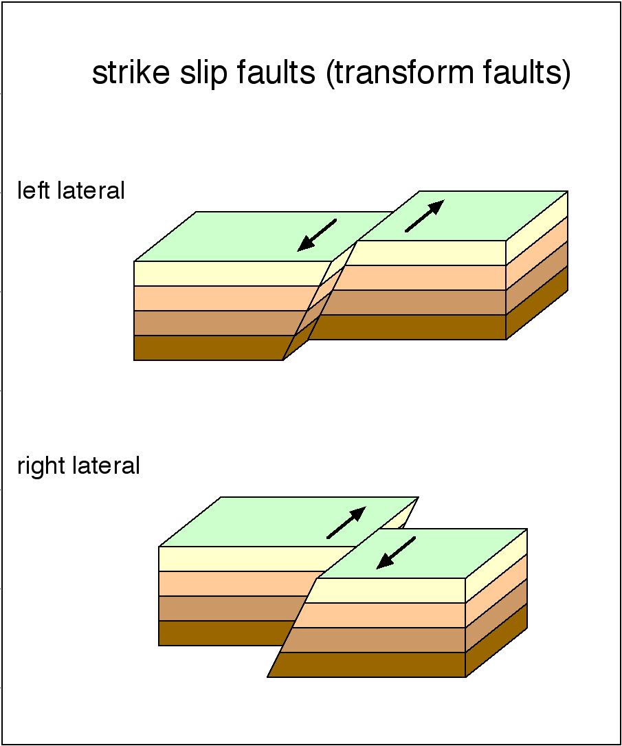
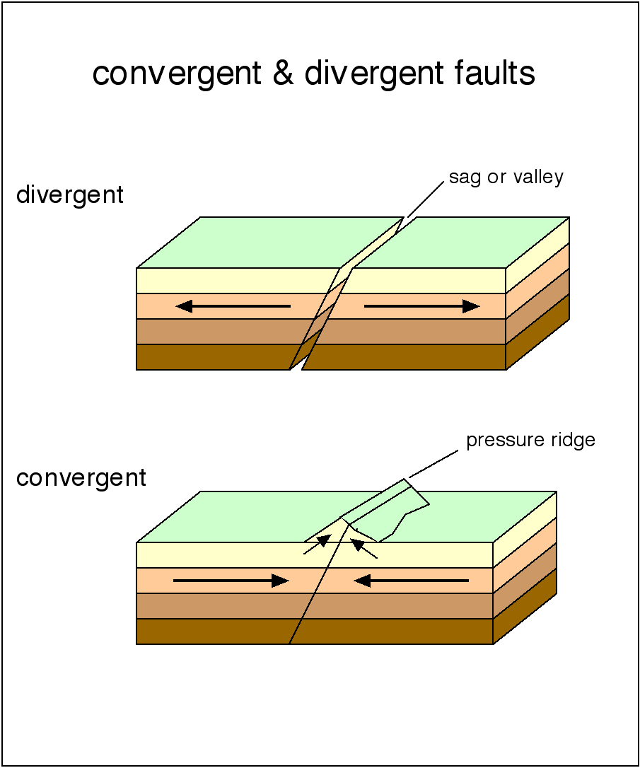
Fault geometry terminology
More complete fault geometry terminology
Books
The San Andreas Fault - (1990) - Sandra S. Schulz and Robert E. Wallace.The San Andreas Fault System, California (1990) USGS Professional paper 1515 (book, actually) edited by Robert Wallace (of Wallace Creek fame)
Earthquake Storms - John Dvorak. Well-written history of the San Andreas Fault - highly recommended.
California Geology - Deborah Harden. Good freshman level introduction to California Geology
Finding Fault in California: An Earthquake Tourist's Guide (2004) - Susan Hough
Field Guide to the San Andreas Fault (2014) - David K. Lynch
A Land in Motion: California's San Andreas Fault (1999) - Michael Collier
Living with Earthquakes in California (2001) - Robert S. Yeats
USGS Publications website
Please help us make this site better. Email us suggestions, pictures, links, etc. here.