Home Information Pictures Maps Google Map Visit the fault Earthquakes Be Prepared ShakeOut! Feel it?
Big One Tectonics Tsunamis California geology History Myths Organizations Links About Research
![]()
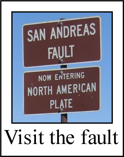
The San Andreas fault's nick name is "SAF".
Volcanoes
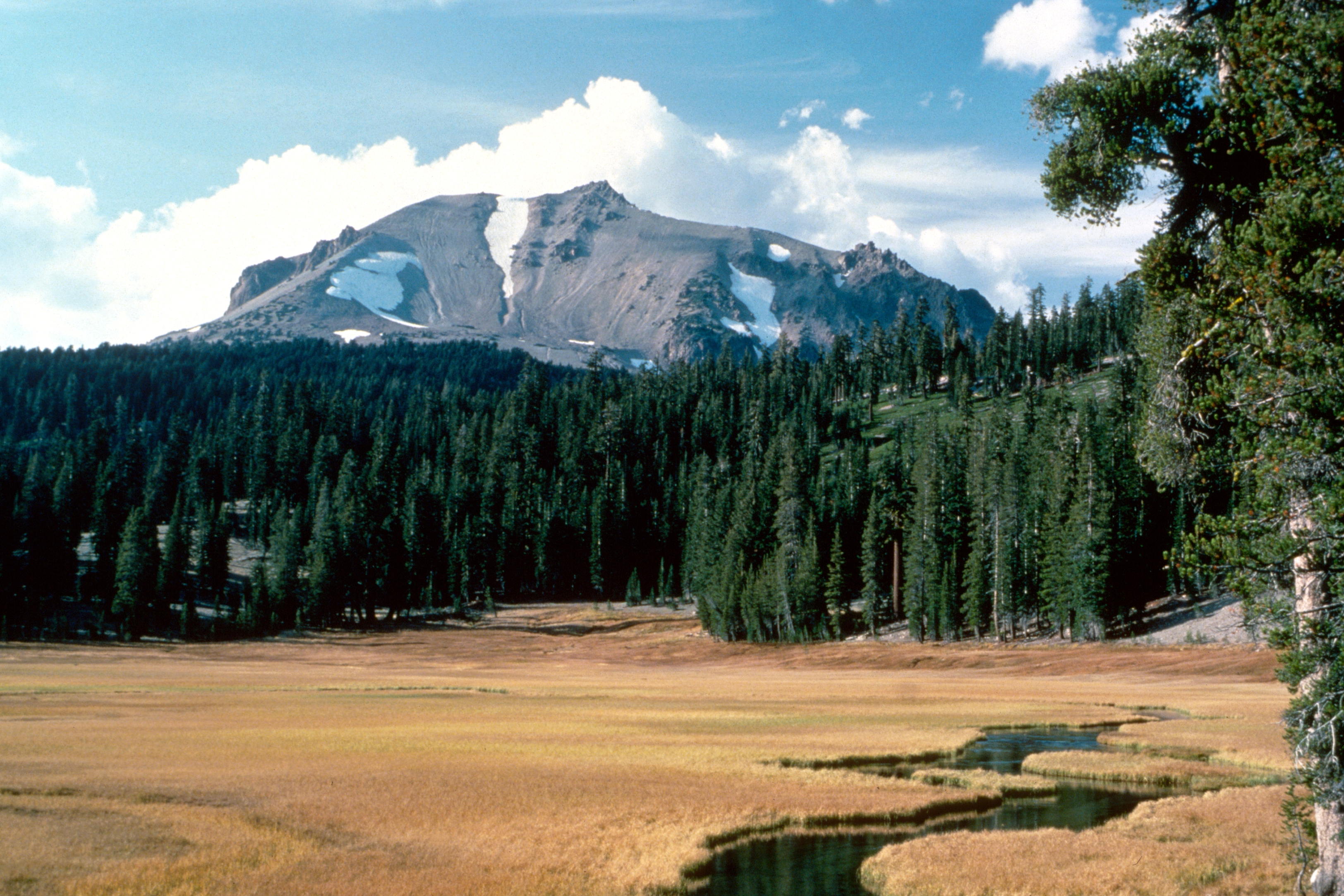

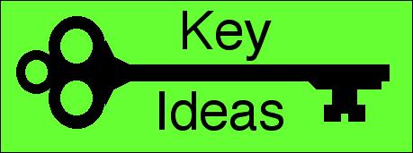
Some California volcanoes: Lassen Peak (Shasta County), Mt. Shasta (Siskiyou County) and Red Hill (Imperial County)
|
|
How do subduction zones make volcanoes? As the subducting plate plunges into the mantle, it becomes heated. When it reaches the asthenosphere or thereabouts, subducted water in the descending slab of crust lowers the melting temperature of the rock and a molten rock mixture forms. This hot, buoyant magma forces its way upward through the overriding crust. As it approaches the surface, the pressure from the overlying rocks decreases, and this allows hot gas to come out of solution, further pressurizing the magma. When it reaches the surface, a volcano is formed. The magma flows out as lava, sometimes explosively. The majority of the world's volcanoes are associated with subduction zones. Since subduction zones represent plate margins, volcanoes tent to occur in lines, like the Cascade Range volcanoes or those on the Aleutian Peninsula. Once in a great while, a new volcano will form. This usually happens when an active underwater volcano produces enough lava to break the surface, such as Surtsey in Iceland in 1963. Sometimes a brand new volcano will appear on land, like Paricutin in the Trans-Mexican Volcanic Belt in 1943. Closely associated with volcanic activity are fumaroles, geysers, hot springs, gas vents, and other geothermal phenomena near hotspots. All result from openings in the crust that allow (or were caused by) upward motion of magma and relatively shallow magma bodies. California has a number of hotspots, the most famous being located in an ancient volcanic remnant, the Long Valley Caldera. The fumarolic activity near Mammoth Lakes is the result of a mantle plume, where magma is rising to near the surface. Other US hot spots are in Yellowstone and Hawaii. |
 A
A Volcano Information California Volcanoes California geothermal sites: fumaroles, geysers, hot springs, etc. Related Information VolcanoCams - Watch your favorite volcano, live!
USGS list
Recent volcanic eruptions
Latest volcano news
Volcano videos
California Volcanoes and Volcanics
USGS volcano page
USGS list of volcanoes in the US
World volcanoes by country
USGS online book by Robert I. Trilling about volcanoes
USGS volcano alerts
USGS volcano alerts system
SDSU: How Volcanoes Work
USGS Hawaiian Volcano Observatory (HVO)
USGS Yellowstone Volcano Observatory (HVO)
USGS Cascades Volcano Observatory (CVO)
Alaska Volcano Observatory (AVO)
USGS California Volcano Observatory (LVO)
USGS On-line book about volcanoes by Robert I. Trilling
Oregon State University's "Volcano World"
USGS CVO list and links to all California volcanoes
USGS California volcanic hazard map
Mt Lassen (Lassen Peak) 10,462 ft, last erupted in 1914-1917.
Mt. Shasta 14,179 ft, last erupted in 1786.
Salton Buttes <100 ft, last erupted ~1000 - 16,000 years ago.
Sutter Buttes
Long Valley
Mono Craters & Inyo last erupted 1350±20.
California geothermal map
Geothermal energy in California
Long Valley fumaroles
California hot springs
Volcanic gas venting in the eastern Sierra and Long Valley
Mud pots and mud volcanoes
Strange nonvolcanic fumarole
Recent deaths from falling into a fumarole
NOAA list
John Seach's list
Please help us make this site better. Email us suggestions, pictures, links, etc. here.