Home Information Maps Google Map Visit the fault Earthquakes Be prepared ShakeOut! Feel it? Big One
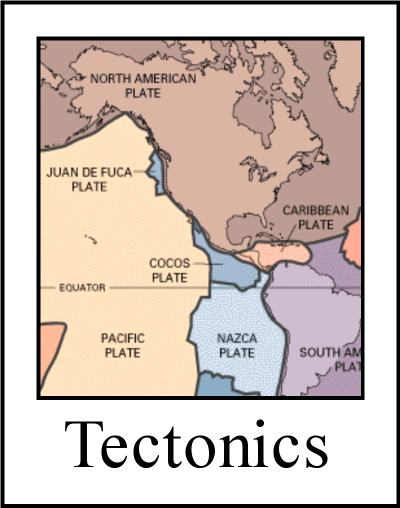
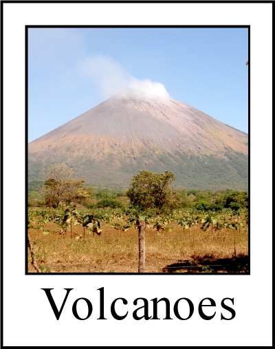
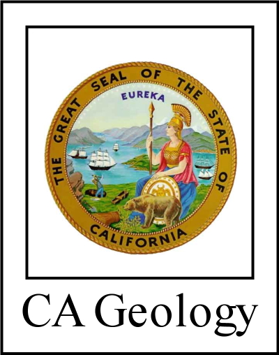
Tectonics Volcanoes Tsunamis California geology History Myths Organizations Links About Research
![]()
The San Andreas fault's nick name is "SAF".
San Andreas Fault Pictures
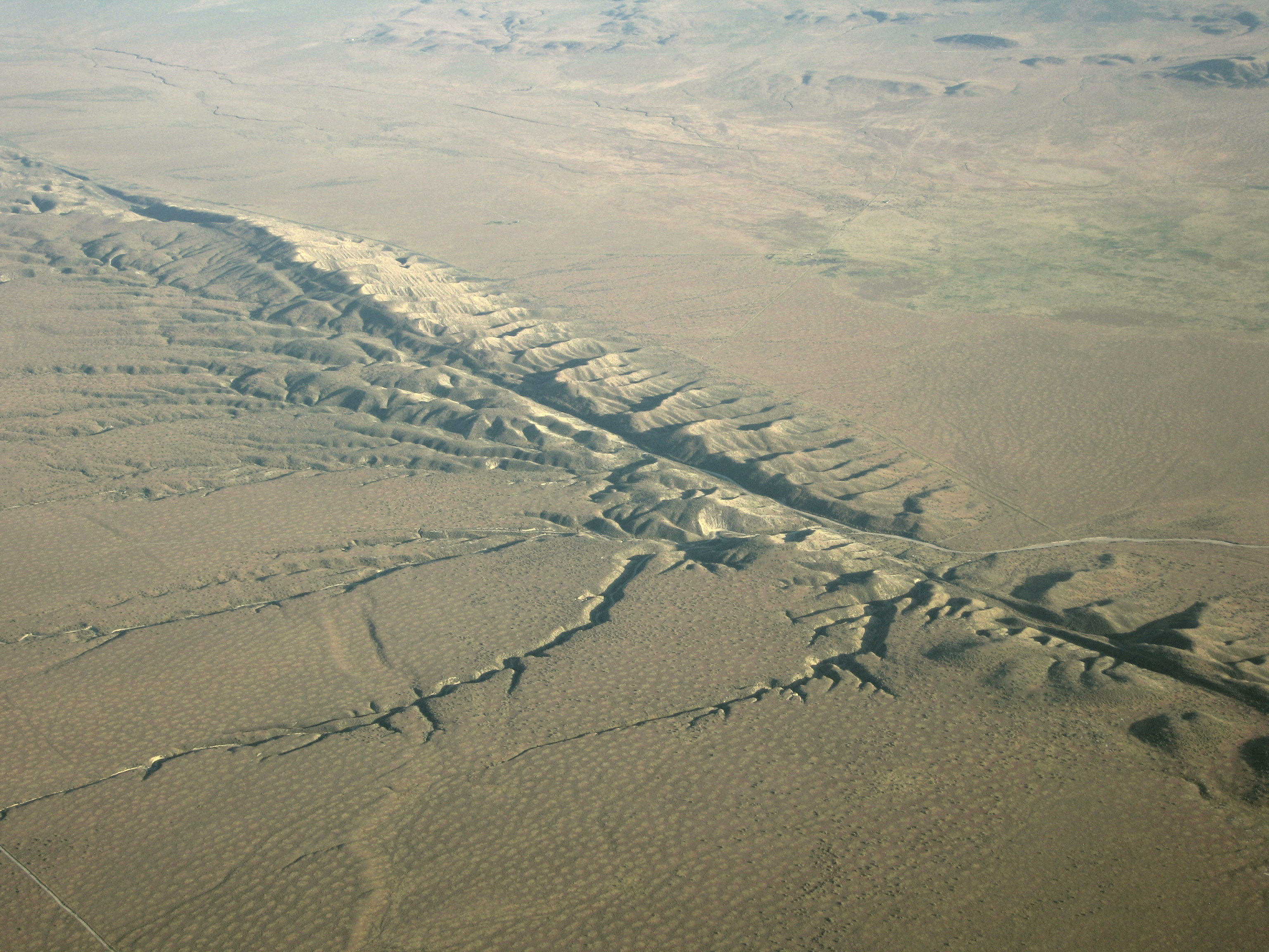
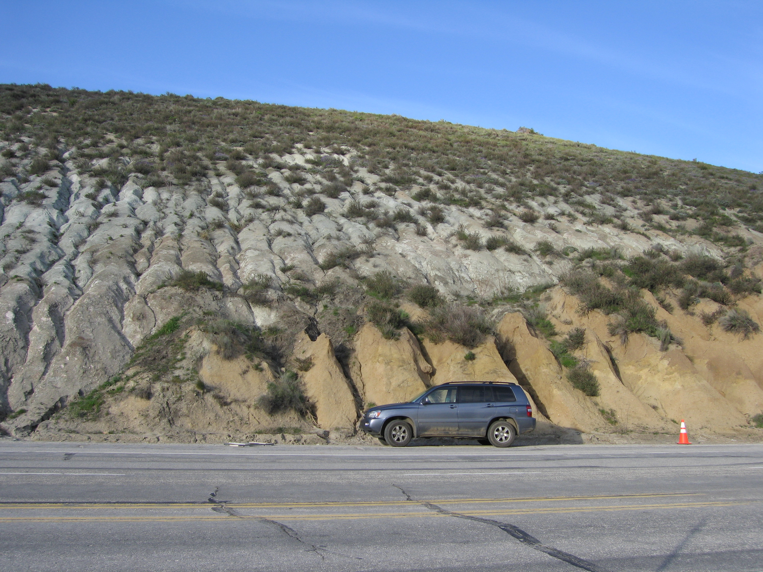
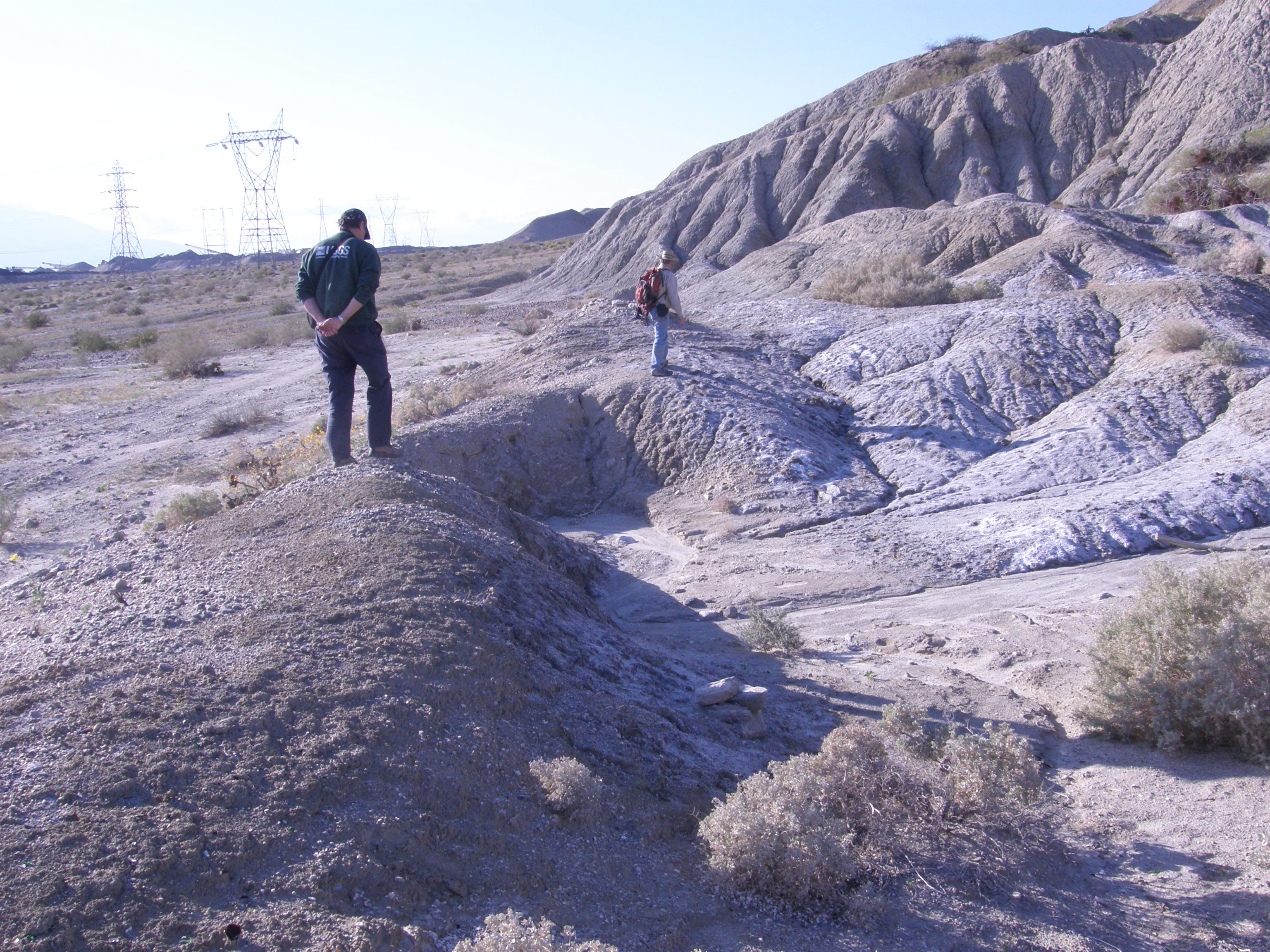
Dragon's Back (Elkhorn Scarp) in the Carrizo Plain, SAF in gouge in Tejon Pass and shutter ridge with offset stream in Curtis Palms, Riverside County
|
|
Some of the best aerial photographs are taken when the sun is low, because a low illumination angle reveals subtle topographic detail and the deep shadows enhance the sense of 3D. Geologists sometimes take pictures in the infrared, or using scanning lidars and radars. Such images reveal different aspects of the fault. Listed below are some of the best pictures of the fault. Unless otherwise indicated, pictures by government agencies may be freely downloaded and used. All others are probably copyrighted, so always ask before using. |
 Aerial pictures provide the most stunning views of the fault. And yet the best way to appreciate the fault's size and behavior is from the ground where you can see the land forms and the detailed processes at work. Therefore both vantage points are useful. One advantage of photographs is that you can study them at home at leisure. You will almost certainly see things in the pictures that you did not see while in the field. So when you
 Aerial pictures
Interactive Google Earth map of the entire San Andreas faultSome of Dave Lynch's pictures in the Carrizo Plain
Thule Scientific's picture page with many SAF and related clickable geology pictures with links to explanations on EPOD
FLICKRIVER photos tagged with sanandreas - generally pretty good but but not always entirely correct
Ramon Arrowsmith's vast collection of aerial photographs, and not just the SAF.
Google Earth compatible lidar images (kmz) of the southern SAF.
NASA's Earth Observatory images from space
Arthur Sylvester's Salton Trough (and more) pictures
Thousands (18,286) of high resolution aerial pictures of the SAF.
Pictures of the entire California coastline, some of which include places where the SAF intersects the coastline
Ground-level pictures
Terry Wright's tour of Pt Reyes, Bodega Head and Shell Beach.Please help us make this site better. Email us suggestions, pictures, links, etc. here.


 Copyright � 2009 David K. Lynch. All Rights Reserved.